Free and Sovereign State of Zacatecas

Zacatecas is one of the 31 constituent states of Mexico. It is located in the north-central region and it is bounded to the northwest by Durango, to the north by Coahuila ,to the east by San Luis Potosí, to the south by Aguascalientes and Guanajuato and to the southwest by Jalisco and Nayarit. The state is best known for its rich deposits of silver ore, its colonial architecture and its importance during the revolution. The state is also known as one of the safest states in the country.
Zacatecas is located in the great central plateau of Mexico, with an average elevation of about 7,700 feet (2,300 m). The state is somewhat mountainous, being traversed in the west by lateral ranges of the Sierra Madre Occidental, and by numerous isolated ranges in other parts – Mazapil, Norillos, Guadalupe and others. There are no large rivers, only the small head-streams of the Aguanaval in the north, and of the Guazamota, Bolaños and Juchipila in the west, the last three being tributaries of the Rio Grande de Santiago.

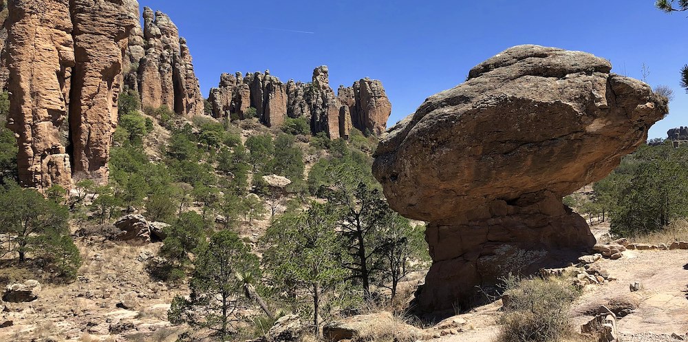
Sierra de Organos National Park ©Tomás Esparza, CC BY-SA 4.0 via Wikimedia Commons
The climate is dry and mostly falls in the semi-arid steppe type, although moisture from the Pacific does influence the state in Summer, particularly western sections.
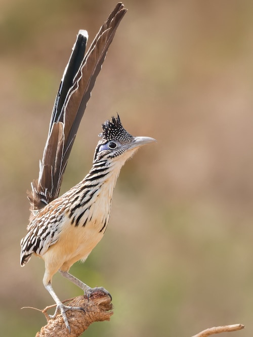
Birding Zacatecas
There are forest of pines and evergreens in the sierras; in the valleys and plains there is a great abundance of mesquite, maguey, cactus, agave, pastures and many other semi-desert plants. In the sierras there are many wild boar, white-tailed deer and hares; in the valleys and plains it is common to find coyote, badgers, quail and ducks.
The state is still relatively unexplored for birding potential. Scientific collecting trips were virtually unknown until the late 1950s thru 1960s. recent studies show shrinking populations many of which are vulnerable to climate change.
-
Number of bird species: 410
(As of May 2024)
-
Avibase
PDF ChecklistThis checklist includes all bird species found in Zacatecas , based on the best information available at this time. It is based on a wide variety of sources that I collated over many years. I am pleased to offer these checklists as a service to birdwatchers. If you find any error, please do not hesitate to report them. -
eBird
PDF ChecklisteBird Field Checklist Zacatecas, MX
-
Cuenca Alimentadora del Distrito Nacional de Riego
InformationSatellite ViewThe protected area consists of two separate blocks of land totaling 977 km2 in the Sierra Fría, which is the south-easternmost range of the Sierra Madre Occidental where it meets the Mexican Plateau. -
NP Sierra de Organos National Park
InformationSatellite ViewSierra de Órganos National Park (Spanish: Parque Nacional Sierra de Órganos) is a national park in Mexico, located in the northwest corner of the municipality of Sombrerete in the state of Zacatecas, near the border with Durango.
