
State of Piauí
Birding Piauí
Piauí is one of the states of Brazil, located in the northeastern part of the country. It has the shortest coastline of any of the non-landlocked Brazilian states at 66 km (41 mi), and the capital, Teresina, is the only state capital in the north east to be located inland. The reason for this is, unlike the rest of the area, Piauí was first colonised inland and slowly expanded towards the ocean, rather than the other way around.In the Southeast of the State is the National Park of Serra da Capivara is a UNESCO World Heritage Site. The park has more than 400 archaeological sites and the largest concentration of rupestrian (rock) paintings on the planet, in a landscape dominated by canyons and caatinga.
Piauí is bounded on the west by Maranhão, on the east by Ceará, Pernambuco and Bahia, and on the south by Tocantins. It has a few miles of Atlantic coastline on the north.The Parnaíba River forms the boundary with Maranhão throughout its entire length, the state lies almost entirely within the basin of the Parnaíba and its tributaries. Part of the state on the Atlantic coast and along the lower Parnaíba is low, swampy, and historically malarial. South of this the country rises gradually to a high plateau with open campos. This plateau region is watered by numerous tributaries of the Parnaíba, chief of which are, from south to north: The Poti, which has its source in the state of Ceará; the Longa; the Canindé and its tributary the Piauí; the Gurguéia and its tributary the Parahim, which drains the large inland lake of Parnagua; and the Uruçui-Preto. The Parnaíba is navigable for boats of 1 meter draft up to Nova York, a few miles above the mouth of the Gurguéia. The river valleys are separated by flat-topped plateaus called chapadas, including the Serra Uruçui, which lies between the Uruçui-Preto and the Gurguéia, the Serra da Capivara National Park, which lies between the Gurguéia and the Piauí, and the Chapada das Mangabeiras, which forms the southwestern boundary of the state, separating the upper basin of the Parnaíba from that of the Tocantins.
The climate is hot and humid in the lowlands and along the lower Parnaíba, but in the uplands it is dry with high sun temperatures and cool nights.The sandy soils along the Atlantic coast are home to the Northeastern Brazil restingas, low evergreen forests adapted to the nutrient-poor conditions. The lower basin of the Parnaíba is home to the Maranhão Babaçu forests, which extend westward into Maranhão. This ecoregion dominated by stands of the Babaçu palm.The eastern portion of the state is dominated by the dry Caatingas shrublands, which extend across much of northeastern Brazil. The Cerrado savannas extend across the southwestern portion of the state, in the basins of the upper Parnaíba and Gurguéia rivers. Enclaves of Atlantic dry forests lie in basin of the Gurguéia, forming a transition between the Cerrado and Caatinga. Serra da Capivara National Park is located in the Caatinga of the south-central part of the state, and protects numerous caves with ancient cave paintings.
-
Wikipedia
GNU Free Documentation License
Information
-
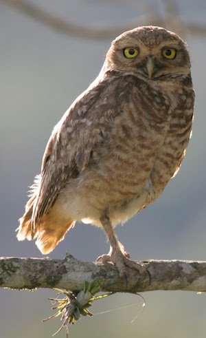
Number of bird species: 555
(As at May 2019)
-
BioBrasil
Inormation PDFOur major project is in the state of Piauí, NE Brazil – Hyacinth Cliffs. The Foundation has a well-guarded reserve of 4,200 hectares alongside the Parnaiba Headwaters National Park – one of the largest in Brazil, and an important example of the cerrado ecosystem. Nearby, in the states of Piauí, Maranhão and Bahia, the
-
NP Serra da Capivara National Park
InformationSatellite ViewThe area is actually protected because it has the largest concentration of prehistoric sites in the Americas. Scientific studies confirm that the Capivara mountain range was densely populated in the pre-Columbian Era.….