Free and Sovereign State of Aguascalientes

Aguascalientes (meaning ‘Hot Waters’), is one of the smallest of the 32 states which comprise the Federal Entities of Mexico. The small state is near the centre of the country that covers around 5,600 km2 (c. 2,170 square miles). It has an average altitude of 1,950 m (6,400 ft) above sea level it is predominantly of semi-arid climate. The state is located c.480 miles from Mexico City in the northern part of the Bajío region, which is in the north-central part of the country, bordered by Zacatecas to the north, east and west, and by Jalisco to the south. It has a population of around 1.5 million people, most of whom live in or around the capital, which has the same name as the state.

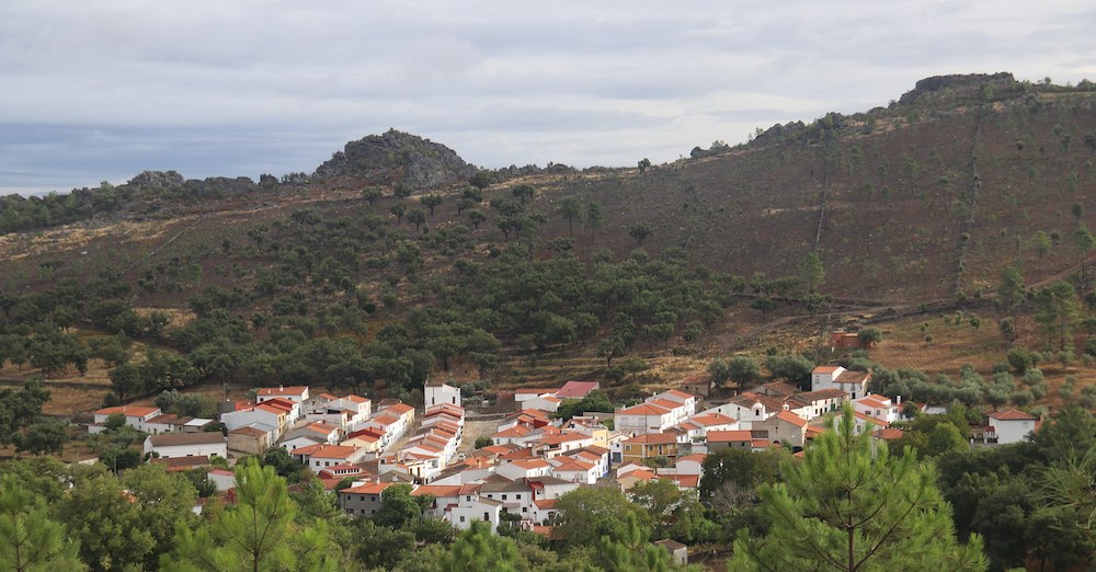
Sierra Fría – ©Alvaro120789, CC BY-SA 4.0 via Wikimedia Commons
Birding Aguascalientes
The name ‘hot waters’ originated from the abundance of hot springs in the area. The state is not heavily populated, however, most of its inhabitants live in the densely populated metropolitan area of its capital city, meaning that the rest of the state is very lightly inhabited. The high sierras mean it has light rainfall and a mild climate. Any agriculture relies on irrigation; crops raised include chilies, corn (maize), potatoes, garlic, onions, beans, guavas, peaches, and alfalfa.
In the higher mountains called Sierra Fría is a protected area (Natural Protected Reserve). Located at a height of 2,500 to 3,000 meters (8,200–9,850 ft) above sea level, it comprises oak and pine forests. Its attractions include its exuberant landscapes and wide ravines, in which, there are pumas, lynxes, boar, white-tailed deer, wild turkey, raccoons and many other animals.
-
Number of bird species: 371
(As at October 2024)
-
Avibase
PDF ChecklistThis checklist includes all bird species found in Aguascalientes , based on the best information available at this time. It is based on a wide variety of sources that I collated over many years. I am pleased to offer these checklists as a service to birdwatchers. If you find any error, please do not hesitate to report them. -
eBird
PDF ChecklistThis checklist is generated with data from eBird (ebird.org), a global database of bird sightings from birders like you. If you enjoy this checklist, please consider contributing your sightings to eBird. It is 100% free to take part, and your observations will help support birders, researchers, and conservationists worldwide.
-
Birds of Mexico and Central America
| By Ber van Perlo | Princeton University Press | 2006 | Paperback | 336 pages, 98 plates with colour illustrations; b/w illustrations, b/w distribution maps, colour maps | ISBN: 9780691120706 Buy this book from NHBS.com
-
Festival de las Aves de Aguascalientes
Facebook PageThe group of bird watchers of Aguascalientes (AvesAGS) and the Aguascalientes Environmental Movement united for the Aguascalientes Bird Festival.
-
Plutarco Elias Calles Reservoir
ArticleSatellite View111 Species of winter birds identified in reservoir in Aguascalientes, Mexico
-
eBird
Sightings
-
Top 20 Most Common Bird in Aguascalientes
WebpageAguascalientes is a state nestled in central Mexico, boasting a wide variety of ecosystems from arid deserts to lush forests...

